

In this edition, iWealth’s Andrew Woolhouse literally walks away from finance, and suggests three routes you can take before the weather turns towards his favourite season, and he throws himself down the frosted European slopes on two short planks of wood at high speed. Happy trails!
OUT AND ABOUT
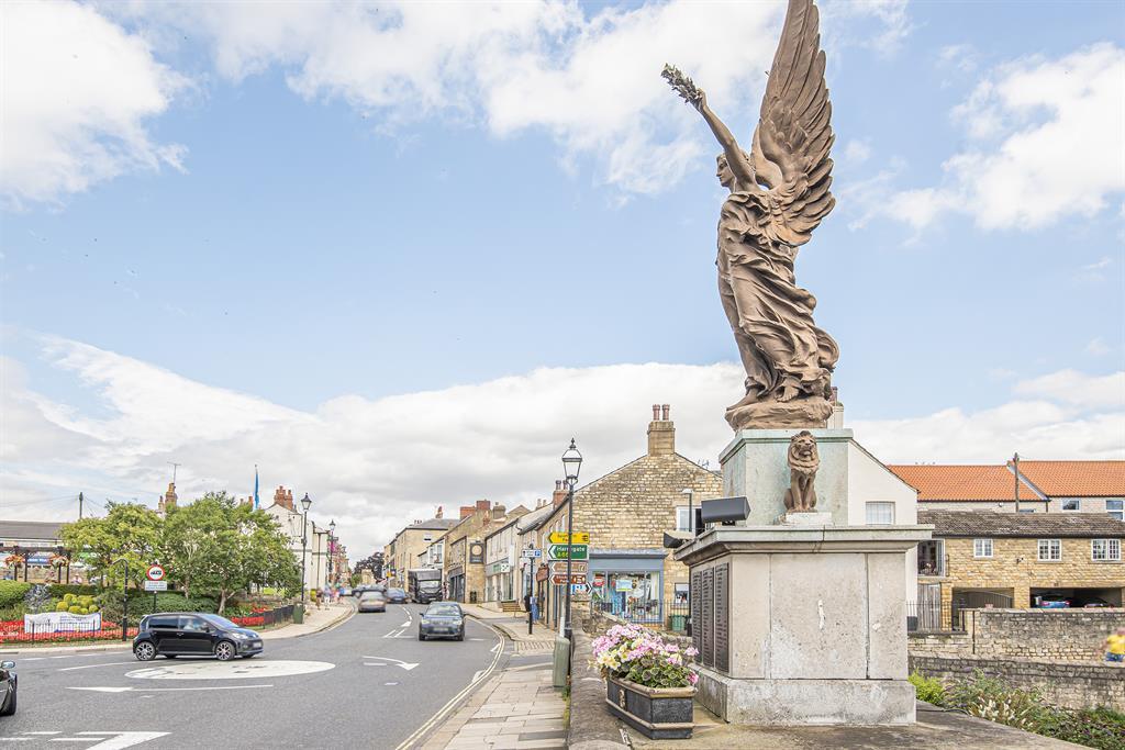
Almscliffe Crag Walk
This is four-and-a-half miles and will take around two hours to complete and essentially takes you from Huby to Pannal,
so you can hop back on the train.
- From Weeton Station head up Strait Lane and take the footpath that heads off to the right.
- Not far along this footpath head to the left and cross Crag Lane to continue on this path.
- Follow this path to the left then head left along Crag Lane.
- Take the footpath off Crag Lane up to the right and onto Almscliffe Crag.
- After investigating the crag, head in a westerly direction (there’s only one path heading west).
- Follow this path back onto Crag Lane, then take the next footpath to the left into North Rigton.
- Coming out onto Rigton Hill, take the path on the opposite side of the road to the right.
- Take this path straight on, following it as it breaks to the left slightly, ignoring any major breaks from the footpath.
- This path will lead you straight into Pannal, where you can get to the station on the right.
Ilkley to Addingham Walk
Starting from the Victorian spa town of Ilkley, this walk covers six miles along a section of the Dales Way, taking you a couple of hours.
- Starting from the Victorian spa town of Ilkley, this walk covers six miles along a section of the Dales Way, taking you a couple of hours.
- Start over the bridge on the north side of the River Wharfe on New Brook Street.
- Take a left onto a footpath immediately after the bridge.
- Follow this bridge forward, passing the Old Bridge on your left.
- Continue until you reach Nestfield Road.
- Head left along Nestfield Road onto Common Holme Lane.
- As Common Holme Lane bears right, there is a footpath that takes you straight ahead, cutting off the corner.
- At the end of this go left onto Brant Bank Lane.
- At the end of Brant Bank Lane head right onto Gill Lane.
- Follow this road through Nestfield and onto West Hall Lane for some distance.
- As West Hall Lane breaks sharply to the right, head down the track to the left.
- This track has a footpath to your right near the end – take it.
- Follow this footpath ahead, over the footbridge and up onto North Street – you’re now in Addingham.
- Head left down North Street then follow the bend onto Church Street.
- On Church Street look out for Low Mill Lane on the left and head down it.
15. Low Mill Lane ends but a footpath continues, linking it to Smithy Greaves.
16. At the end of Smithy Greaves, head left and then straight on.
17. You’re now on Old Lane – head to the end and take a left.
18. Walk up Ilkley Road, and look out for the footpath on the left.
19. From here stick to the footpath closest to the water (unless the water level is high).
20. Continuing along the water’s edge takes you back to Ilkley to where you began.
Calverley to Apperley Bridge – Canal Walk
This is four-and-a-half miles and will take around one-and-a-half hours to complete and, as it follows the canal, it is fairly flat. Park near the canal next to Calverley Bridge, or at Rodley and, crossing the swing bride and turning left, walk that little bit extra down the canal.
1. Walk down the canal from Calverley Bridge (to the right if you’re facing the canal).
2. Follow the canal along to Apperley Bridge, exiting before reaching the bridge itself (not long after the canal runs parallel to the river).
3. Head up onto the road, then follow it for approximately 200m before taking a public path right.
4. Follow this path through Cragg Wood, back to the river and return to Calverley Bridge